Asahikawa旭川 · Hokkaido river townBack to Asahikawa日本語

District · 地区

Kamui & Etanbetsu神居・江丹別

The hilly west and northwest, with the Kamuikotan gorge and the very cold Etanbetsu valley.⁠[3][13][66]

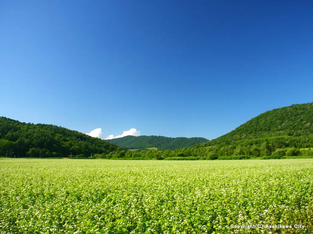
A buckwheat field below green hills in Etanbetsu
Photo: Asahikawa City

Let’s walk around Kamui & Etanbetsu!歩いてみよう!

History

A little history 地区のなりたち

Kamui was one of the three villages Hokkaido created here in 1890. Kamui and Etanbetsu villages joined Asahikawa together on 1 April 1955, the first of the mergers. Between them they cover more than 320 km².⁠[4][1][3]

In the west, the Horonai hills, the Teshio Mountains and the Arashiyama hills run north to south, and the Ishikari has carved the Kamuikotan gorge where it cuts through the Horonai hills. Up in the northwest, the Etanbetsu weather station recorded −38.1 °C on 17 February 1978.⁠[4][66]

Sights

Sights in Kamui & Etanbetsu 神居・江丹別の見どころ

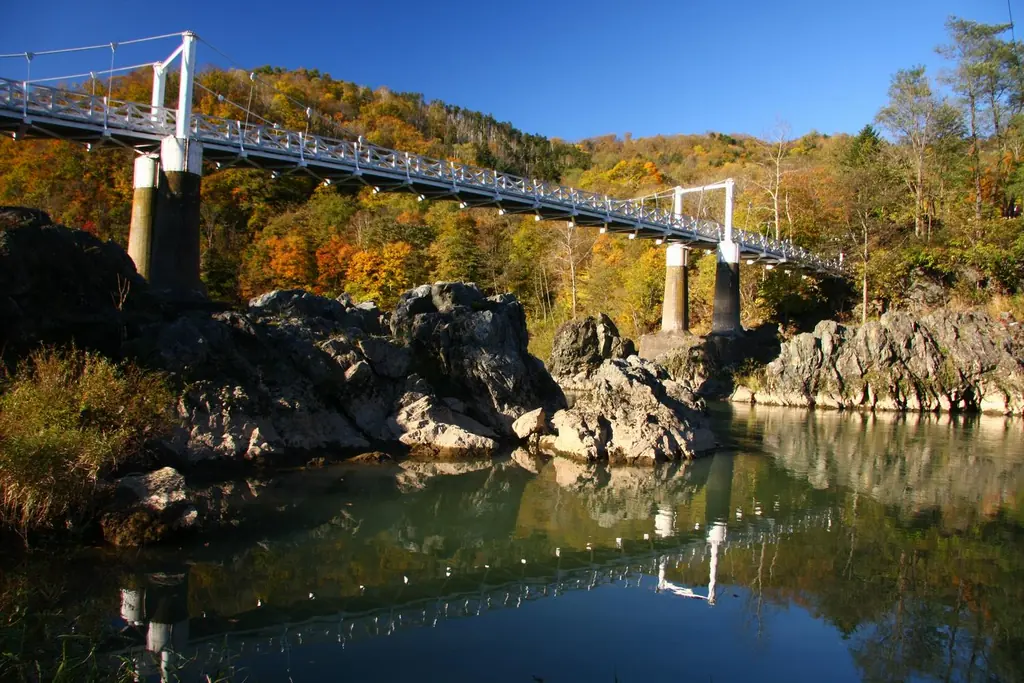
  • A white suspension bridge over the rocky river at Kamuikotan, in autumn colors

    Nature

    Kamuikotan

    神居古潭

    About 15 km west of the center, the Ishikari runs through a gorge lined with strangely shaped dark-green rocks.⁠[40][15]

    Photo: Asahikawa City

More sights across the city are on the sights page. All sights